Applications prepared for the public
Assessment of the status of surface water bodies
Evaluation of the chemical status and ecological status/potential of surface water bodies from the Water Plan of Slovakia for the years 2022-2027.
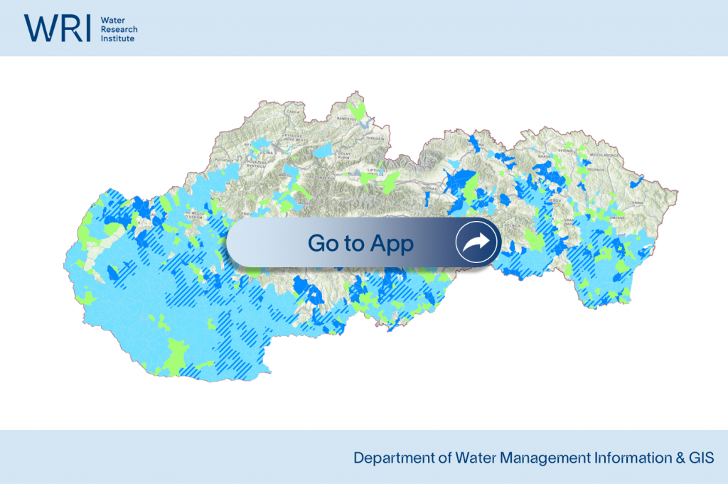
Assessment of the status of groundwater bodies
Evaluation of the chemical and quantitative status of groundwater bodies from the Water Plan of Slovakia for the years 2022-2027.
Assessment of Water Quality – Nitrates Directive
Concentrations of nitrate in groundwater and surface water and data on the eutrophication of surface water as presented in the report on the state of implementation of the Nitrates Directive for the period 2020–2023
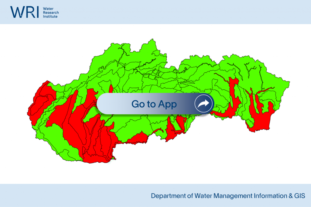
Vulnerable areas of Slovakia
Water bodies affected by pollution from agriculture and water bodies that may be affected by such pollution if the programmes developed for the prevention and abatement of nitrate pollution are not implemented.
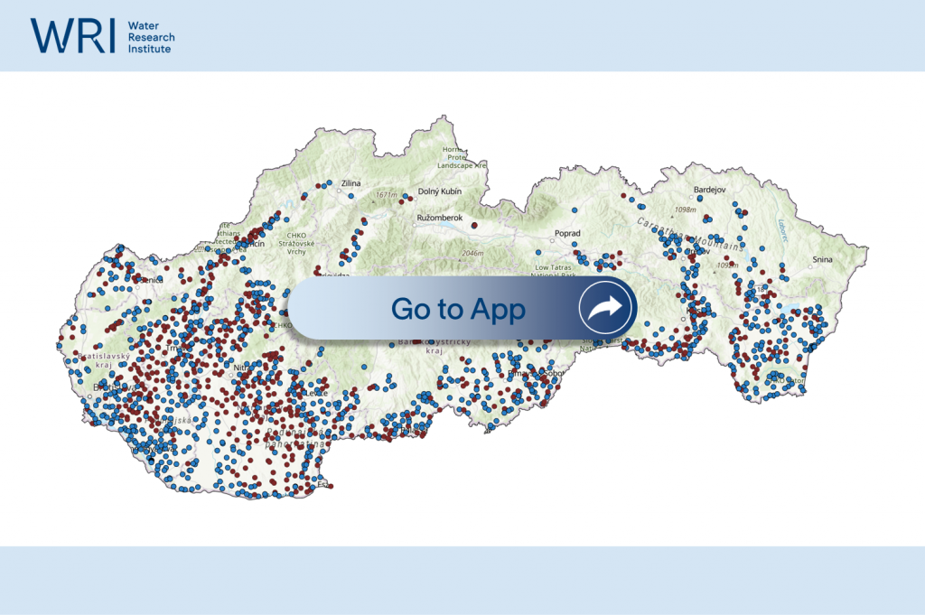
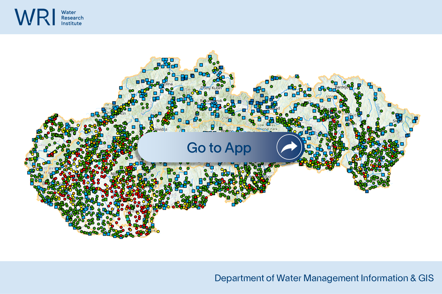
WRI groundwater quality monitoring network
Results of groundwater quality monitoring provided by the Water Research Institute according to the Slovak Water Monitoring Framework Program, displayed on an interactive map.